

HIGHLIGHTS:
- The Union Minister for Rural Development and Panchayati Raj, introduced the Unique Land Parcel Identification Number
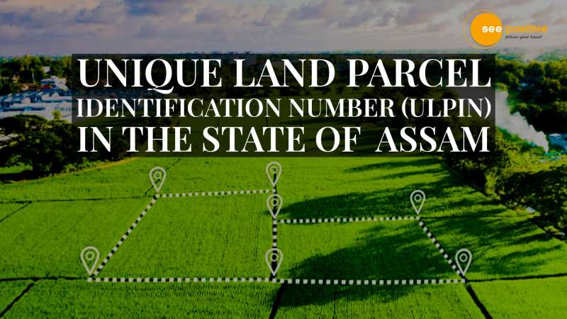
- ULPIN is implemented in the state of Assam on March 11th 2022
- Every land parcel in Assam will be assigned a 14-digit alphanumeric geospatial unique identification number
Giriraj Singh, the Union Minister for Rural Development and Panchayati Raj, introduced the Unique Land Parcel Identification Number (ULPIN) in the state of Assam on March 11th 2022.
ULIPN’s Background
- On a trial basis, the Unique Land Parcel Identification Number (ULIPN) project was initiated in Assam. Every land parcel in Assam will be assigned a 14-digit alphanumeric geospatial unique identification number as part of this project (UIN). As a result, ULPIN will serve as a “adhaar for land.”
- The survey of non-cadastral villages and a re-survey of all cadastral villages are the first steps in this procedure.
- End-to-end integration of digitalized land records and maps is the next phase, which will pave the way for the development of ULPIN for the land parcel.
- The ULPIN initiative will pave the ground for definitive titling to be implemented and would aid in the speedy resolution of land disputes in the state.
About the Basundhara Mission
The government of Assam has established ‘Mission Basundhara,’ a mission to streamline and make land revenue services accessible to everybody, hence boosting ease of doing business in the state’s land management ecosystem. The goal of ‘Mission Basundhara’ is to shorten the time it takes to update land records.
‘Mission Basundhara’ is made up of three parts:
- In a mission mode, purification of the state’s land records.
- Conducting a polygon survey of 672 non-cadastral settlements that have yet to be surveyed.
- Using hybrid methods, doing a re-survey of 18789 cadastral communities.
DILRMP Information
The Digital India Land Records Modernization Programme includes the ULPIN initiative (DILRMP). The Government of India launched the DILRMP in 2008.The National Land Record Modernization Program was its previous name (NLRMP). DILRMP’s goal is to digitize and upgrade land records in India, as well as build a centralised land record management system.
DILRMP is made up of three major components:
• Land records are being computerized.
• Conducting a land survey or re-survey.
• Land registration is being computerized.
The ultimate goal of the DILRMP is to replace India’s current presumptive title system with a definitive titling system with title guarantee.
