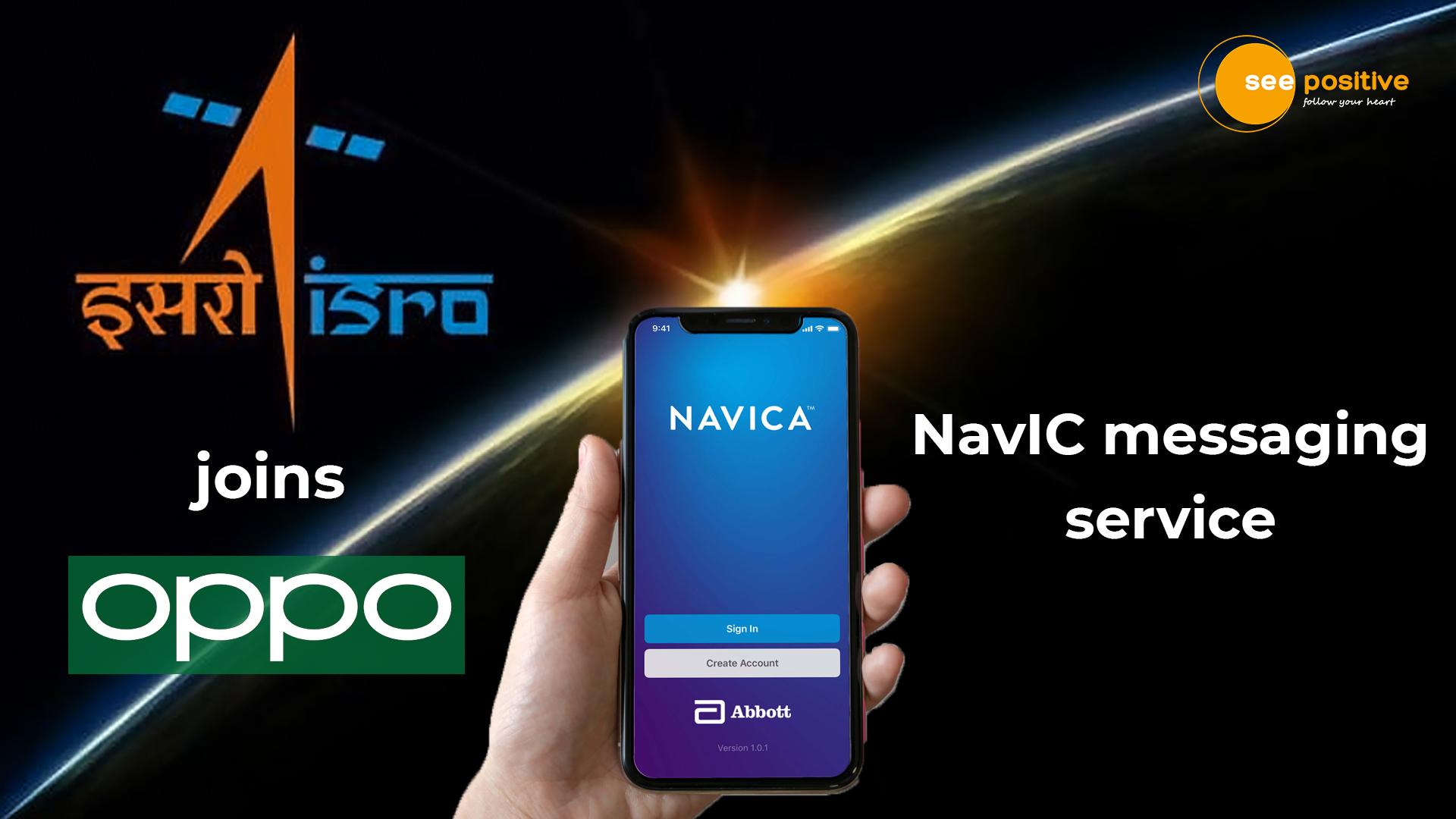


The Indian Space Research Organization (ISRO) and the Indian Government have recently signed an agreement with renowned Smartphone maker, OPPO to strengthen research and development of NavIC messaging services.
The Indian Space Research Organization (ISRO), the Government of India, and the Ministry of Space signed an agreement with smartphone maker OPPO on 10th December 2021, to strengthen the research and development of NavIC News Service (a domestic satellite navigation system).
This MoU paves the way for future collaboration between ISRO and OPPO India to develop domestic solutions by integrating the NavIC short message feature into OPPO smart phones.
What is NavIC?
NavIC or Navigation with Indian Constellation is a regional geo-positioning system developed in India by the space agency ISRO. It can enable accurate positioning in India and mainland India. This is considered to be equivalent to the US-based GPS developed in Europe, Glonass in Russia, and Galileo. ISRO believes NavIC is more accurate than GPS with a position accuracy of 5 meters. In addition, NavIC operates at dual frequencies (S-band and L-band), but GPS is more accurate than GPS because it depends only on the L-band.
Statement of Dr. K. Sivan
“The NavIC system provides regional navigation services covering mainland India and areas up to 1500 km away from mainland India. NavIC can also send short messages in addition to its main function of providing PNT services. Yes, this intelligence service is primarily used to broadcast life safety warnings in areas of poor or no communication, especially in the waters, “said Dr. K. Sivan in a statement.
The MoU
With this MoU, ISRO and OPPO India provide technical information about NavIC messaging services to: develop fast, ready-to-use, application-specific end-to-end solutions by integrating NavIC messaging services into mobile platforms. You will be able to exchange it. Take into account the needs of Indian users. We are pleased to work with ISRO to enhance our NavIC applications. As part of the latest Memorandum of Understanding, we support ISRO with industry-leading R & D skills to provide users of NavIC applications with a seamless experience. In line with Make In India’s vision, OPPO will invest in further product expansion with a competitive and experienced R & D team.
Recognition
The International Maritime Organization (IMO) also recognizes NavIC as part of the World Wide Radio Navigation System (WWRNS).
Range and use of NavIC
The Commission stated that NavIC meets operational requirements to support the navigation of vessels in waters within the range of 55 degrees east longitude, 50 degrees north latitude, 110 degrees east longitude and 5 degrees south latitude.
Last year, the NavIC L5 was included in the Maritime Services Radio Technical Committee (RTCM) Standard 10403.3.
These developments will enable NavIC to be used in maritime, surveying and other fields.
