India’s transportation infrastructure is undergoing a significant transformation with the advent of satellite-based toll collection systems. Spearheaded by Union Transport Minister Nitin Gadkari, this innovative system promises to revolutionize how commuters pay tolls on highways. In this article, we delve into the details of this cutting-edge technology, explore its differences from FASTag, and discuss its impact on the Indian road network.
What is the Satellite-Based Toll Collection System?
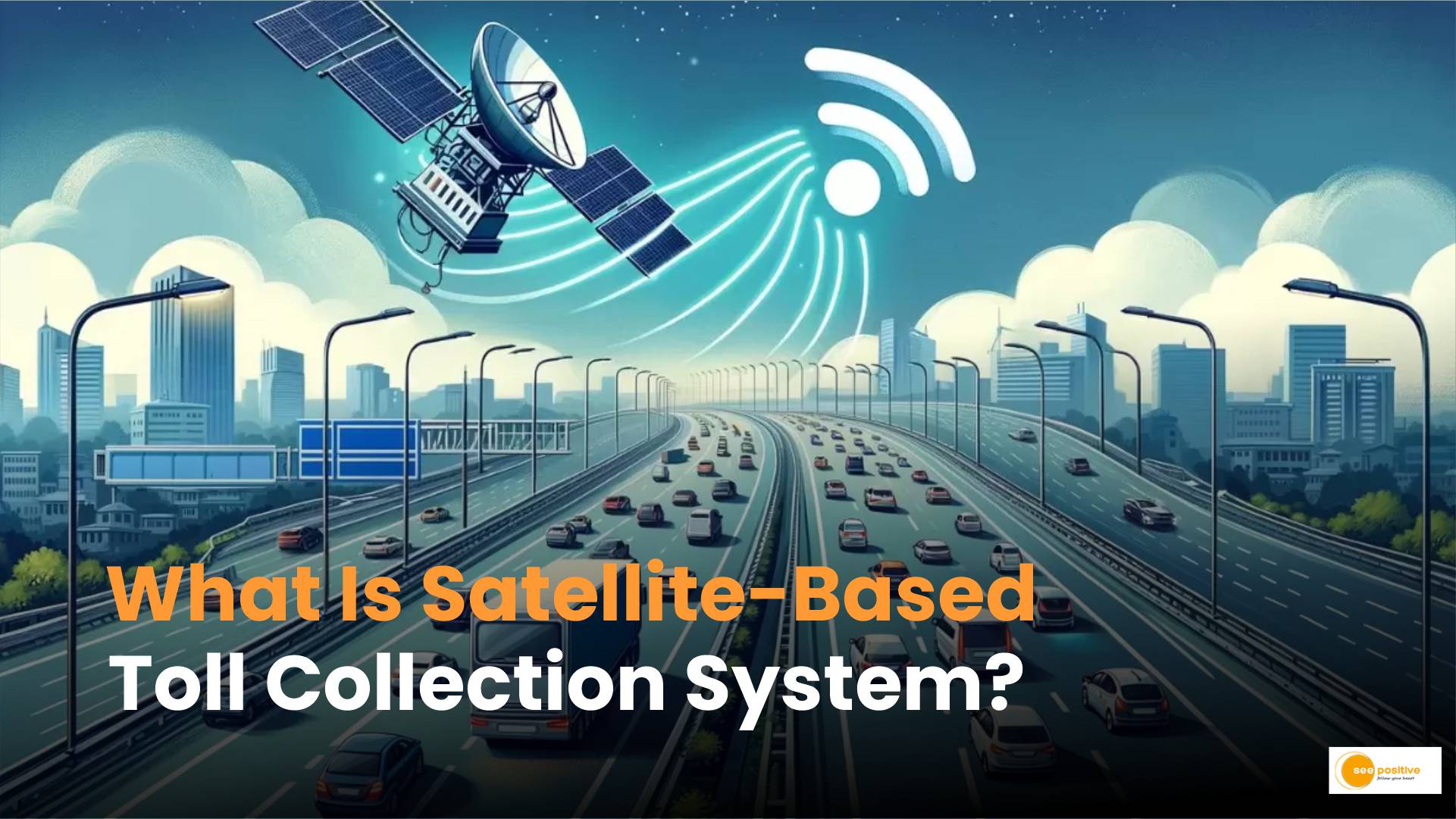
The satellite-based toll collection system leverages Global Navigation Satellite System (GNSS) technology, specifically the Global Positioning System (GPS) and India’s GPS Aided GEO Augmented Navigation (GAGAN). Unlike traditional toll collection methods, which rely on physical infrastructure like toll booths and RFID tags, this system calculates toll charges based on the distance traveled by vehicles.
Key Features and Functionality
- Precise Location Tracking: The GNSS-based system ensures accurate location tracking. Vehicles equipped with an on-board unit (OBU) or tracking device communicate with satellites to determine their position on the highway.
- Distance-Based Toll Calculation: As vehicles move along national highways, digital image processing records their coordinates. Sophisticated software algorithms then calculate toll rates based on the distance covered. This approach eliminates the need for physical toll booths and streamlines the payment process.
- Gantries and CCTV Monitoring: Gantries equipped with CCTV cameras monitor compliance and enforce toll payment. This seamless operation enhances efficiency and reduces traffic congestion.
Satellite-based Toll Collection System: Payment Process
Payments will be deducted from a digital wallet linked to the OBU, streamlining the toll payment process. Initially introduced alongside FASTag, this system promises to complement existing tolling technologies while offering added convenience for commuters.
How Is It Different from FASTag?
FASTag, introduced in 2016, is an electronic toll collection (ETC) system that uses RFID tags for automatic toll payment at designated lanes. Here’s how the satellite-based system differs:
- Technology: While FASTag relies on RFID technology, the satellite-based system operates on GNSS. It offers more precise location services, making it ideal for calculating tolls based on actual distance traveled.
- Accuracy: The satellite-based system ensures accurate toll calculations, eliminating discrepancies caused by lane switching or vehicle misalignment.
- Complementing Existing Technologies: Initially introduced alongside FASTag, the satellite-based system complements existing tolling technologies. It provides an additional layer of convenience for commuters while enhancing overall efficiency.
Pilot Implementation and Future Prospects
The Indian government has initiated pilot projects on selected sections of National Highways to test the efficacy of the GNSS-based ETC system. As the country transitions to this advanced toll collection mechanism, it represents a significant step forward in modernizing transportation infrastructure.
Positive Takeaway
The satellite-based toll collection system holds immense promise for transforming the commuter experience on Indian highways. With its potential to enhance efficiency, reduce travel times, and eliminate bottlenecks, it’s a game-changer that will shape the future of toll collection in India.
