

Highlights:
• Drone company will work on SVAMITVA
• After creating data from drones the data is handed to Survey of India to make maps
• Various next plans are made for AUS
The nine-year-old drone company will start work on the Union government’s land digitisation scheme, SVAMITVA, across several states such as Uttar Pradesh, Haryana etc.
Aarav Unmanned Systems (AUS) CEO Vipul Singh said that the data that is being generated for land records was being exchanged with the help of hard disks and physical servers. As a result, the scope of data traceability was very limited.
Singh is planning to take AUS’ drone solutions to other countries in future , and also look to raise funds to scale up its operations.
Excerpts from the interview:
Where is AUS right now, in terms of progress of the project?
As a whole, one lakh villages have been already mapped out of over four lakh villages. As a company, they have mapped close to 25,000 pages every day with the help of 80 drones. They are mapping close to between 150 and 200 villages every day across Uttar Pradesh, Maharashtra, Madhya Pradesh and Haryana. Manually, they can’t finish one village in a period of three days. And, financially, a drone costs only Rs
2,500 for surveying a village.
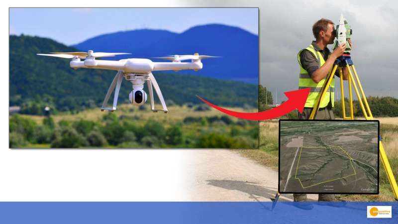
What happens after this data is created with the help of drones?
The data is handed over to Survey of India. They make maps out of it. They take data from the state governments. There is a lot of ground verification done to validate what is correct what is not. Because the digitisation is being done through software but one needs to take approval of these landowners or property owners to validate the data. So, people go on the field, they check with every citizen and they take their approval with them and their neighbours.
However, there are instances when landowners dispute over the boundaries. But people get cooperative and they resolve these issues amicably, because they don’t want to lose the value that will come from this.
What are the complexities that you have faced while undertaking this project?
There are a lot of inefficiencies around adoption of new technology. Procedures and standards are also not universal. For instance, a same project may be taken up differently in different places, which would lead to different outcomes. Standardisation is another area which really needs to be focused on. And there’s next set of problems such as data sharing, storage, democratization, value addition etc.
What next for AUS?
As a company, they not only manufacture drone or do their operations but also do sector specific data analytics on the drone data. The next step is to be able to help organisations and people understand the value of this data set by deriving information from it.
Secondly, most of their analytics and solutions circulate around environmental, social and governance (ESG) and sustainability-related fundamentals. So, the next step would be to be able to deliver ESG and sustainability related fundamentals as value ads to people on this dataset.
Thirdly, the mainstream infrastructure sector has not yet really picked up drone at this scale. For instance, for development of roads and development of fiber network, there is not yet enough awareness about the applications of drones. So they would like to create more awareness on this.
