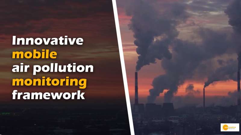


Indian Institute of Technology Madras (IIT Madras) researchers have developed an innovative and affordable mobile air pollution monitoring framework that combines data science, Internet of Things (IoT), and big data analytics. By mounting pollution sensors on public vehicles, this technology enables dynamic monitoring of air quality in a wide geographic area at high spatial and temporal resolution. The project, named Kaatru (meaning “air” in Tamil), aims to create a pan-India hyperlocal air quality map, provide exposure assessment for citizens, and generate data-driven solutions for policy interventions and mitigation strategies.
Enhancing Air Quality Monitoring
Traditional air quality monitoring stations provide limited coverage due to their fixed locations. They measure air quality in a small geographic area, offering a generalized view of pollution levels. However, air pollution varies significantly across short distances and at different times of the day. Establishing additional monitoring stations is expensive and impractical. To overcome these limitations, IIT Madras researchers have developed an IoT-based mobile air pollution monitoring technology.
IoT and Data Science in Action
The mobile air pollution monitoring system utilizes low-cost air quality sensors mounted on vehicles, allowing the collection of spatiotemporal data. This approach enables the creation of a detailed air quality map for an entire city at high resolution while costing no more than a single reference monitoring station. The integration of IoT, big data analytics, and data science algorithms facilitate the processing and analysis of vast amounts of data to extract meaningful insights.
Benefits and Implications
Pan-India Hyperlocal Air Quality Map: The mobile monitoring framework offers the potential to generate a comprehensive air quality map, covering diverse locations and capturing real-time pollution data. This data can contribute to a better understanding of air pollution patterns across the country.
Personalized Exposure Assessment: With the ability to gather hyperlocal data, the system enables an accurate assessment of individuals’ exposure to air pollution. Citizens can access information about air quality in their immediate vicinity, leading to informed decisions and proactive measures to protect their health.
Data-Driven Solutions: The rich dataset obtained from mobile monitoring devices can be leveraged to develop data-driven solutions for policy, intervention, and mitigation strategies. Authorities can identify pollution hotspots, prioritize targeted actions, and design effective measures to combat air pollution.
Insights from the Research
During the research, significant findings were uncovered. For example, one location exhibited a spike in PM2.5 pollution between 2 am and 3 am, attributed to trucks transporting milk from a major distribution hub during that time. Moreover, PM2.5 spikes were observed in school neighborhoods during school start and end hours and in commercial zones during peak hours. These insights highlight the dynamic nature of air pollution and the importance of real-time monitoring.
Conclusion
The mobile air pollution monitoring framework developed by IIT Madras researchers represents a significant advancement in addressing the limitations of traditional stationary monitoring systems. By harnessing IoT, big data, and data science, this technology offers a cost-effective solution for obtaining a comprehensive air quality map, assessing individual exposure, and formulating data-driven strategies. As India grapples with the challenges of air pollution, innovations like Kaatru have the potential to contribute significantly to better air quality management and safeguarding public health.
