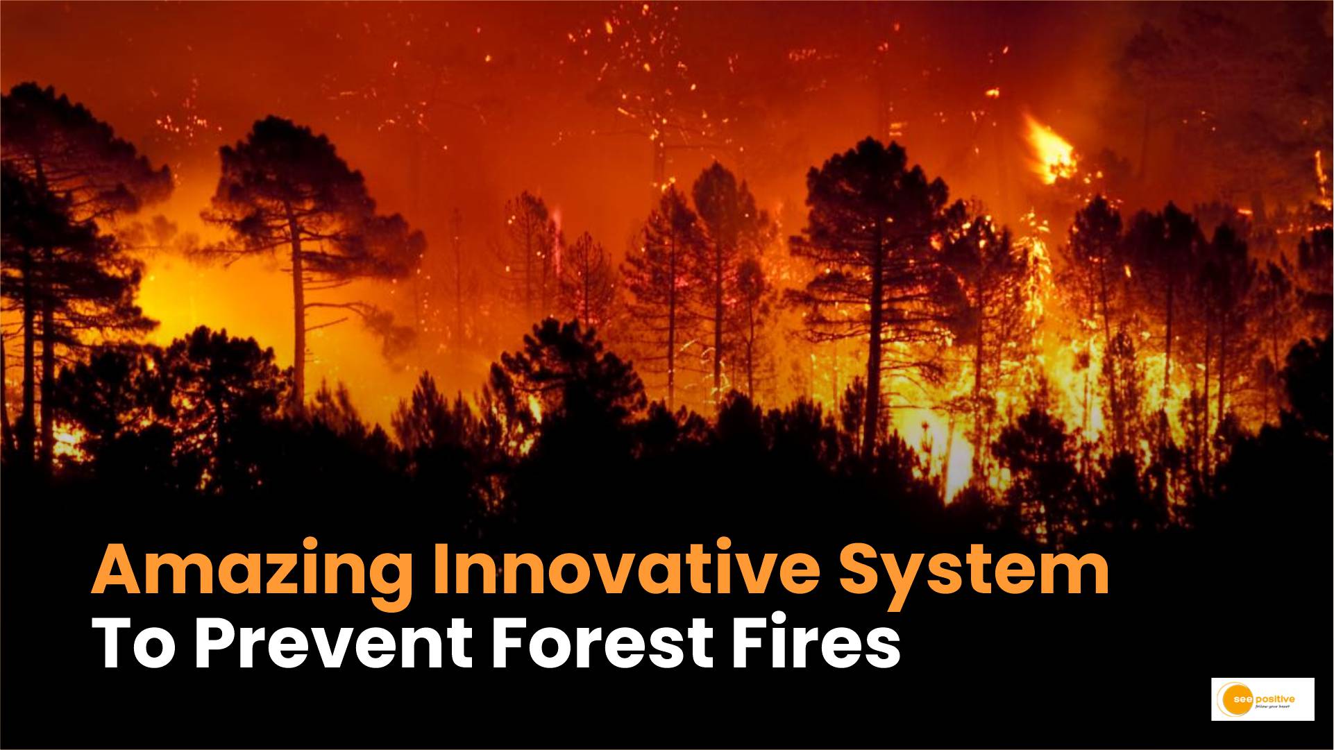
Forest Conservation: For the last couple of days, fires have been raging in the forests of Nainital, Uttarakhand. The flames have also spread to neighboring districts, including Bageshwar, Almora, Tehri Garhwal, Champawat, and Pithoragarh. Over 30 acres of forests have been destroyed. But did you know that an IFS officer named Dr. Abdul Qayum had long ago built an innovative system to prevent forest fires in Arunachal Pradesh? Let’s explore how his groundbreaking approach is making a difference.
The eForestFire-Himalayan Forest Fire Prediction System
Dr. Abdul Qayum’s system, known as the eForestFire-Himalayan Forest Fire Prediction, utilizes data from the Forest Survey of India (FSI) and maps it on a Geographic Information System (GIS) platform. The primary objective is to analyze forest fire events and their distribution, ultimately generating fire hotspots at the village level.
Here are the key components of his award-winning system:
- Mapping Eight Factors Linked to Fires: Dr. Qayum’s team mapped eight critical factors associated with forest fires, including forest type, density, altitude, slope, rainfall data, temperature, poverty, and population density. These factors were integrated into eight maps, collectively referred to as “Hotspot 1.”
- Comparison with FSI Data: The system also incorporated decadal data of forest fires in the state obtained from the FSI (referred to as “Hotspot 2”). By comparing the FSI data with the actual map produced using direct and indirect factors, the system predicts forest fires likely to occur and identifies actual fire points.
- Merging Hotspots for Improved Accuracy: Dr. Qayum’s team merged the two hotspots (Hotspot 1 and Hotspot 2) to enhance the prediction model. This refined model provides forest officers with information about villages susceptible to forest fires.
- The eForestFire Mobile App: To engage citizens in fire prevention efforts, the team developed a mobile app called eForestFire. The app allows users to provide real-time inputs on fire incidents, helping pinpoint the exact location of fires. Designed to work offline (considering internet connectivity issues in hilly regions), the app empowers local communities to contribute actively.
Impact and Results
Thanks to Dr. Qayum’s system, forest fire incidences in Arunachal Pradesh have decreased significantly. Here’s how it has made a difference:
- Strategic Fire Lines:
- Armed with information about fire-prone villages, forest officers can strategically establish fire lines.
- Fire lines act as barriers to prevent fires from spreading from one patch of forest to another, using constructed surfaces like roads or water bodies.
- Efficient Resource Allocation:
- Unlike random allocation in the past, officials can now allocate watch and ward duties more efficiently.
- Limited resources are strategically deployed based on the system’s predictions.
- Reduced Incidences:
- In 2020, reported forest fire incidents were approximately 31% lower compared to the period before the initiative.
Conclusion
While the recent forest fires in Nainital have captured headlines, Dr. Abdul Qayum’s foresight and dedication have had a lasting impact in preventing forest fires in Arunachal Pradesh (Forest Conservation). His award-winning system serves as a shining example of how technology and community engagement can protect our precious forests.
